
So when did location data become so important?
Location data plays a crucial role in today’s landscape, offering valuable insights that inform decision-making across multiple sectors. This information allows businesses to create comprehensive maps and visualizations that reveal significant trends in various geographic regions. Consumers also gain from this data visualization, as many mobile applications now feature sophisticated mapping tools. The ability to visualize data in relation to specific locations has significantly enhanced our comprehension of location-based information. As a result, businesses can analyze consumer behavior more accurately and utilize location intelligence to make informed strategic choices. By employing Geographic Information Systems (GIS) and advanced data visualization techniques, companies can refine their strategies and improve market segmentation. This method is vital for effective urban planning and the advancement of smart cities, ensuring that resources are allocated in a manner that is both efficient and impactful.
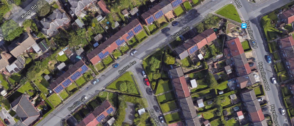
Analyzing various regions on maps allows towns and communities to assess vital metrics and communicate information effectively. This analysis includes insights into sales figures, customer inquiries, visit statistics, and household demographics, all tied to specific locations. By utilizing location data, we can gain valuable insights into consumer behavior and enhance location-based services. This approach enables us to visualize trends and patterns through data visualization tools, including Geographic Information Systems (GIS) and mapping platforms like Google Maps. Furthermore, the use of geolocation technology improves market segmentation and supports efficient urban planning efforts. A comprehensive understanding of location data significantly enhances decision-making across multiple sectors, driving innovations in smart cities and advancing location intelligence. By integrating data analytics and location-based services, communities can better address public health, environmental monitoring, and supply chain management challenges.
Utilizing location data offers substantial benefits for social marketing, enabling organizations to tailor their strategies according to consumer behavior across diverse market segments. By harnessing geographic information systems (GIS), businesses can improve their location-based services and optimize their outreach efforts. Understanding how various demographics interact with mobile applications, such as mapping platforms, can lead to more effective marketing campaigns. Furthermore, the use of data visualization tools enhances location intelligence, facilitating improved decision-making in areas like urban planning and the development of smart cities. This approach not only boosts engagement but also helps businesses maintain a competitive edge in an increasingly data-driven landscape.
Visualisations made easy
DataEco harnesses location data by combining diverse geographic information sources and applying sophisticated algorithmic analysis to evaluate current performance and uncover future business opportunities across various industries. This approach enhances the understanding of consumer behavior and improves location-based services, delivering essential insights for organizations. By utilizing Geographic Information Systems (GIS), DataEco effectively visualizes this information, enabling companies to make data-driven decisions grounded in location intelligence. This methodology not only enhances data analytics but also plays a crucial role in urban planning and refines market segmentation strategies. Additionally, the integration of mobile applications and smart city initiatives amplifies the impact of location data, driving innovation and increasing operational efficiency.
We provide valuable insights to our clients by helping them grasp important social trends that can enhance their regional operations. By analyzing location data, we uncover how consumer behavior differs across various geographic areas, allowing businesses to effectively customize their location-based services. This knowledge not only strengthens their social marketing strategies but also boosts overall performance. Leveraging Geographic Information Systems (GIS) and sophisticated data visualization tools enables companies to gain a deeper understanding of consumer behavior, equipping them to make informed decisions that foster success in urban planning and smart city projects. Additionally, this method supports market segmentation and enriches location intelligence, ultimately benefiting efforts in retail analytics and public health initiatives.

Unlimited subscription £49.99
Now only £35
For Limited Period
READY TO DIVE DEEPER?
One subscription, unlimited UK Company search and downloads.
Sign up to a simple membership plan that gives you unlimited access to predefined dashboards allowing for different analysis and views into critical sales and business intelligence.
Related Posts

July 15, 2018
The influence of UK road plans on traffic congestion can significantly impact your business when considered in a broader context. Understanding how traffic [...]
July 15, 2018

July 15, 2018
Traffic congestion in the UK has increased notably in recent years, creating significant challenges for small businesses. The changing traffic commuter flow has [...]
July 15, 2018

July 15, 2018
Understanding how UK crime impacts businesses has been difficult until recently. With the availability of police crime statistics, we can now evaluate how [...]
July 15, 2018

July 15, 2018
Media coverage plays a crucial role in a company's long-term success and overall corporate reputation. Its impact goes beyond simple visibility; it significantly [...]
July 15, 2018

July 15, 2018
Social media feeds are essential in shaping how businesses are viewed in today's market. When users share their thoughts on major platforms like [...]
July 15, 2018
July 15, 2018
UK house prices are essential for grasping the broader economic environment. Their importance stems from their relationship with purchasing power and their influence [...]
July 15, 2018

July 15, 2018
Weather conditions significantly affect businesses across the UK, yet the value of a weather forecast for businesses is frequently underestimated. This oversight can [...]
July 15, 2018

July 15, 2018
Commercial property insightsDataEco offers in-depth commercial property insights specifically designed for businesses in the UK. This resource includes a wealth of historical data on [...]
July 15, 2018

July 15, 2018
Businesses in the B2C sector are significantly influenced by household finance data, which serves as a crucial lagging indicator of the UK economy. [...]
July 15, 2018

July 15, 2018
Political and legal changes affecting one company can create significant ripple effects throughout an entire industry. Consumer opinions about industry leaders play a crucial [...]
July 15, 2018